OverHolland is published by Vantilt publishers in Nijmegen on behalf of Delft University of Technology, Faculty of Architecture, and appears twice a year.
Editors
Henk Engel, Esther Gramsbergen, Henk Hoeks, Reinout Rutte
Maps
Otto Diesfeldt, Iskandar Pané
ISBN 9789460041358
Published:
2013-06-01
Preface
-
We have great pleasure in presenting a new issue of OverHolland. It has taken a while, but following SUN Architecture’s decision not to publish any more issues in the series, the Vantilt publishing company has now taken over where SUN left off. In the meantime, the copy has been piling up, which is why this is another double issue.
OverHolland 12/13 opens with an article by the Spanish architect Gabriel Carrascal Aguirre on ‘The space of cartography’ – the subject of his dissertation for the Villard d’Honnecourt International Doctorate in Architecture Ph. D. programme in Venice...
Articles
-
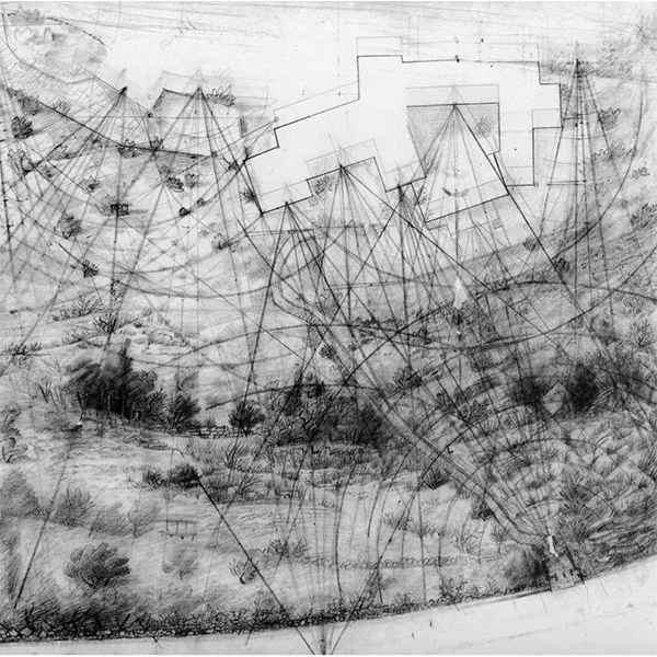
There is a type of contemporary space which, as such, remains practically unnoticed even by those who are responsible for its creation. This could be explained by the fact that these spaces have no specific location, their essence being of a sym-bolic, conceptual kind. I’m referring to maps, the forms for the graphic representation of spatial milieu. As it will be explained below, maps are themselves places that substitute those of the represented reality; they are surrogate spaces operating primarily through analogy and abstraction.
The production and use...
-
The economic crisis and changing conditions in the Netherlands have rapidly put an end to large-scale district development. Now that urban renewal – long an excuse for radical intervention in deprived nineteenth- and twentieth-century city districts – no longer seems feasible, we face the question of where to go from here. For lack of investment capacity, housing corporations, private investors and local authorities will have to convert their ‘building development’ strategies into ‘devel-oping management’. They must now involve local parties and private initiative in a new...
-
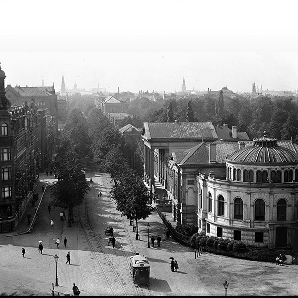
In the eighteenth century Amsterdam more or less stopped growing. Its population fluctuated around 200,000, and there was ample room within the seventeenth-century walls for the few building projects that were carried out. Especially east of the River Amstel there were still plenty of vacant plots, and typical ‘fringe-belt elements’ such as social welfare institutions, the municipal refuse dump and industry found a place there. To the east of the Muidergracht canal, the Plantage remained a virtually unbuilt recreation area, with rented gardens and wood storage areas.2
-
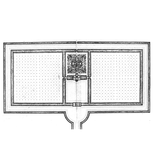
In the seventeenth century a new fashion developed among the welltodo citizens of the Dutch Republic: owning and maintaining a country estate. This term (buitenplaats, literally ‘outside place’, in Dutch) has been defined as a substantial residence with a designed garden, garden ornaments and outbuildings. Country estates were not usually isolated structures in the landscape, but were built in clusters, as we can see from seventeenth and eighteenth century waterboard maps. In the area round Amsterdam they could be found on the banks of the River Amstel and in Watergraafsmeer,...
-
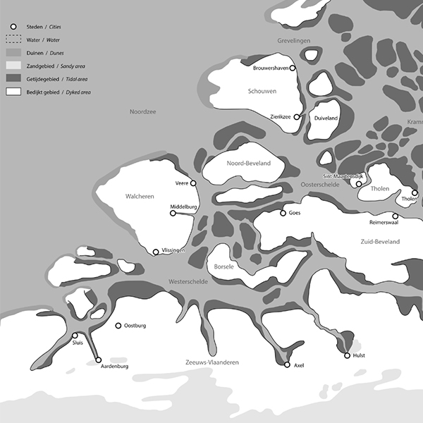
The Dutch province of Zeeland has an unusually large number of large and small towns, including Zierikzee, Brouwershaven, Veere, Middelburg, Vlissingen (formerly known in English as Flushing), Goes, Tholen, Hulst, Axel, Oostburg, Sluis and Aardenburg. These developed over a period of some four hundred years, from the eleventh to fourteenth centuries. Since most of these towns declined economically at the end of the Middle Ages, some are fairly well preserved, while others are now just modest local centres. It takes some imagination to realise that what is now often considered...
-
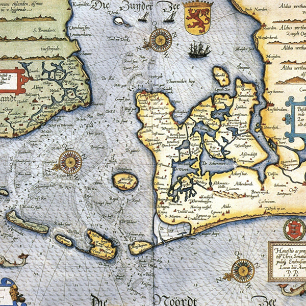
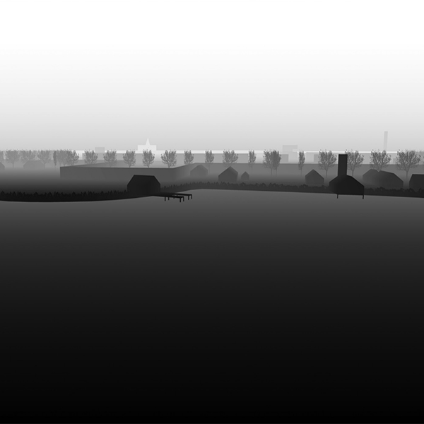
The first printed map of the Zuiderzee and the marked navigation channels in the western part of the Wadden Sea was produced by Lucas Jans-zoon Waghenaer in 1584. It differs from nautical charts of the area published later in that it also shows the inland waterways of Holland’s Noorderkwartier (‘Northern Quarter’). The map provides a rare picture of the infrastructure and the distribution pattern of towns and cities in the area in the late sixteenth century. Land reclama-tion would alter the map dramatically in the centuries that followed, but waterways remained the...
Polemen
-
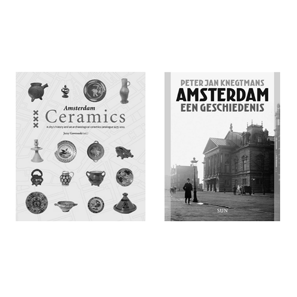
Jerzy Gawronski (ed.)
Peter Jan Knegtmans Amsterdam: een geschiedenis (‘Amsterdam: a history’)
Amsterdam Ceramics: a city’s history and an archaeological ceramics catalogue 1175-2011 Amsterdam, Bas Lubberhuizen, 2012, 336 pp. Peter Jan Knegtmans
Amsterdam: een geschiedenis
(‘Amsterdam: a history’)
Amsterdam, SUN, 2011, 440 pp. -
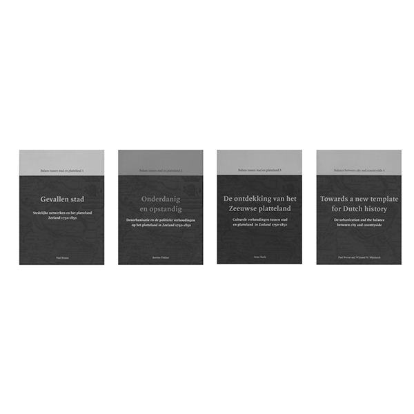
Paul Brusse and Wijnand Mijnhardt (eds) Balans tussen stad en platteland
(‘Striking a balance between town and country’)
4 volumes, Zwolle, Waanders, 2011, 248 pp
