Abstract
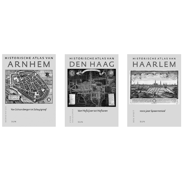
Over the past few years, historical atlases (each entitled Historische Atlas) have appeared of nine Dutch cities: Nijmegen (2003), Rotterdam (2004), Arnhem (2005), ’sHertogenbosch (2005), Maastricht (2005), Utrecht (2005), The Hague (2006), Haarlem (2006), and Groningen (2009). The publishers, SUN, have announced that more will follow: the series will in any case include Amsterdam, Leeuwarden, Walcheren (Middelburg and the island’s other towns), Leiden, Zutphen and Venlo. An earlier series of atlases (each entitled Historische stedenatlas), published between 1982 and 2003, dealt with seven Dutch cities. In addition, a large number of urban monographs have appeared, most of them in the past ten years.
A critical review of these atlases and monographs is long overdue. The following article seeks to remedy this omission. It will briefly describe the two atlas series and the monographs and consider them in relation to each other, the aim being to establish the general significance of these publications to comparative historical research on cities. This comparative research is still in its infancy in the Netherlands, as is clear from the recent publication Erfgoedbalans.1 There is an abysmal lack of wideranging studies in this field. The question at the heart of this article is: what is the value of these city atlases and urban monographs to research on the longterm spatial transformation of Dutch cities − that is, from the 11th to the 21st century?
How to Cite
Published
Issue
Section
License
Copyright (c) 2009 OverHolland

This work is licensed under a Creative Commons Attribution 4.0 International License.
