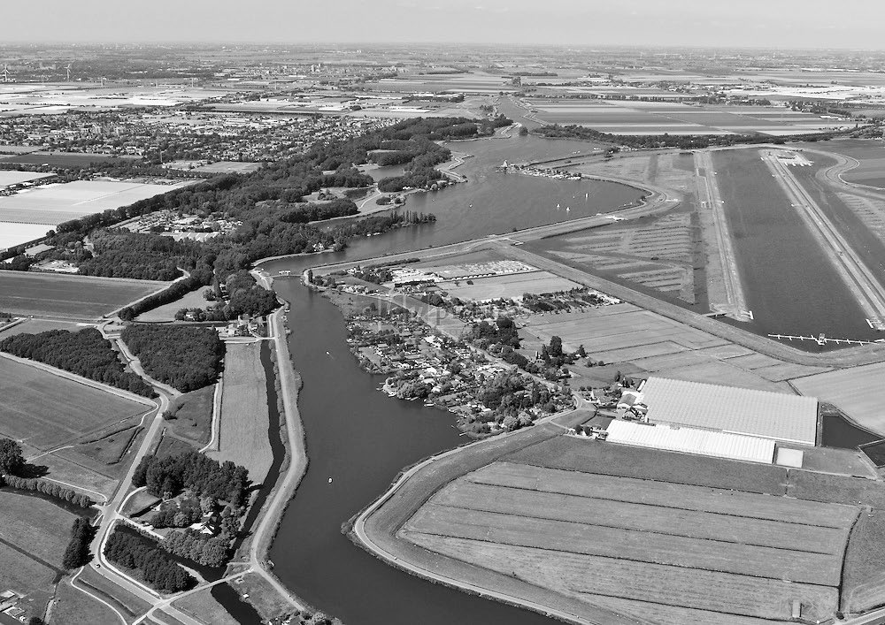
Redesign of a boezem landscape
Downloads
Abstract
The Dutch landscape is about to be reconfigured yet again. This time not in order to make the delta inhabitable through reclamation or to organise it more efficiently for agriculture through land consolidation but, in this age of climate change and population growth, to make the land more resilient and liveable for human beings, flora and fauna. Owing to sea level rise, an increase in torrential rainfall events, summer droughts, progressive soil subsidence and saline seepage, water-related problems are on the rise.
Fundamental to the organisation of the lowlying western part of the Netherlands is the socalled polder-boezem system. Created to drain the soggy soil and then keep it dry, this water system consists of ditches, leats, drainage canals, navigation canals, waterways, city canals, pondsand lakes connected by scores of hydraulic works. The water level in this system is controlled by dykes, dams, sluices and pumping stations, with excess water being drained via the boezems into the major rivers and the sea. While the need for continuous water management and drainage is incontestable, it is clear that the system is not up to the task of dealing with future problems.
By the end of the twentieth century, hydraulic engineers were already drawing attention to the inadequacy of the usual measures, such as installing more powerful pumps, building higher and stronger dykes and letting in more water in times of drought. In 2000, to ensure a safe and effective water management system in the new century, the Committee for Water Management for the 21st Century established the ‘water triad’: a three-step plan of water capture followed by water storage and, as and when necessary, water drainage. This strategy has been the basis of every spatial project in the Netherlands since 2003.
How to Cite
Published
Issue
Section
License
Copyright (c) 2021 Inge Bobbink, Esther Gramsbergen

This work is licensed under a Creative Commons Attribution 4.0 International License.


