Boekpresentatie OverHolland 21
2021-08-11
17 September 2021, 14.00 - 17.00 uur, Gouda
Lees meer over Boekpresentatie OverHolland 21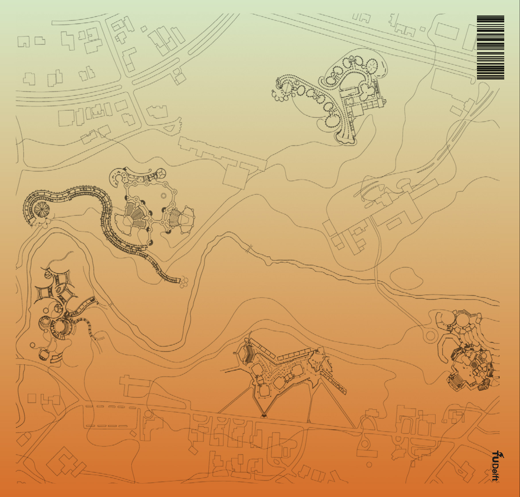
OverHolland wordt uitgegeven door de KNOB (Koninklijke Nederlandse Oudheidkundige Bond) namens de afdeling Architectuur van de Faculteit Bouwkunde, TU Delft.
Redactie
Henk Engel, Esther Gramsbergen, Reinout Rutte, Judith Fraune, Otto Diesfeldt, Iskandar Pané
ISBN
9789493439115
OverHolland 23 is available through Idea Books hier
Dit artikel onderzoekt hedendaagse dilemma’s in de zorg voor en interpretatie van cultureel erfgoed aan de hand van zogenoemd ‘schuldig’ of omstreden historisch materiaal. Met behulp van literaire analyse, architectuurtheorie en recente maatschappelijke debatten wordt verkend hoe culturele objecten en plaatsen moreel beladen raken wanneer hun ontstaansgeschiedenis of historische associaties botsen met hedendaagse waarden. De beschouwing opent met Andrew O’Hagans roman Caledonian Road, waarin een kunsthistoricus...

Dit artikel bevat een uitgebreid interview met Jaap Evert Abrahamse, Eva Röell en Gabri van Tussenbroek over de totstandkoming van de Onderzoeksagenda Architectuur, Stedenbouw, Landschap van de Rijksdienst voor het Cultureel Erfgoed (RCE). Het gesprek, gevoerd begin 2025, gaat in op de aanleiding, opzet en beoogde werking van deze agenda, die onderdeel vormt van een bredere nationale kennisstrategie. Centraal staat de overtuiging dat onderzoek en kennis de basis vormen van een effectieve erfgoedzorg.
Dit artikel onderzoekt de historische ontwikkeling en het intellectuele profiel van het bouwkundeonderwijs in Delft, met bijzondere aandacht voor de veranderende relatie tussen architectuur, techniek, geschiedenis en ontwerp. Aan de hand van de Faculteit Bouwkunde van de Technische Universiteit Delft wordt geschetst hoe het onderwijs zich ontwikkelde van een sterk technisch georiënteerde discipline tot een complex domein waarin ontwerp, historische kennis, theorie en maatschappelijke betrokkenheid samenkomen.
De...
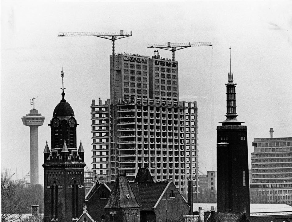
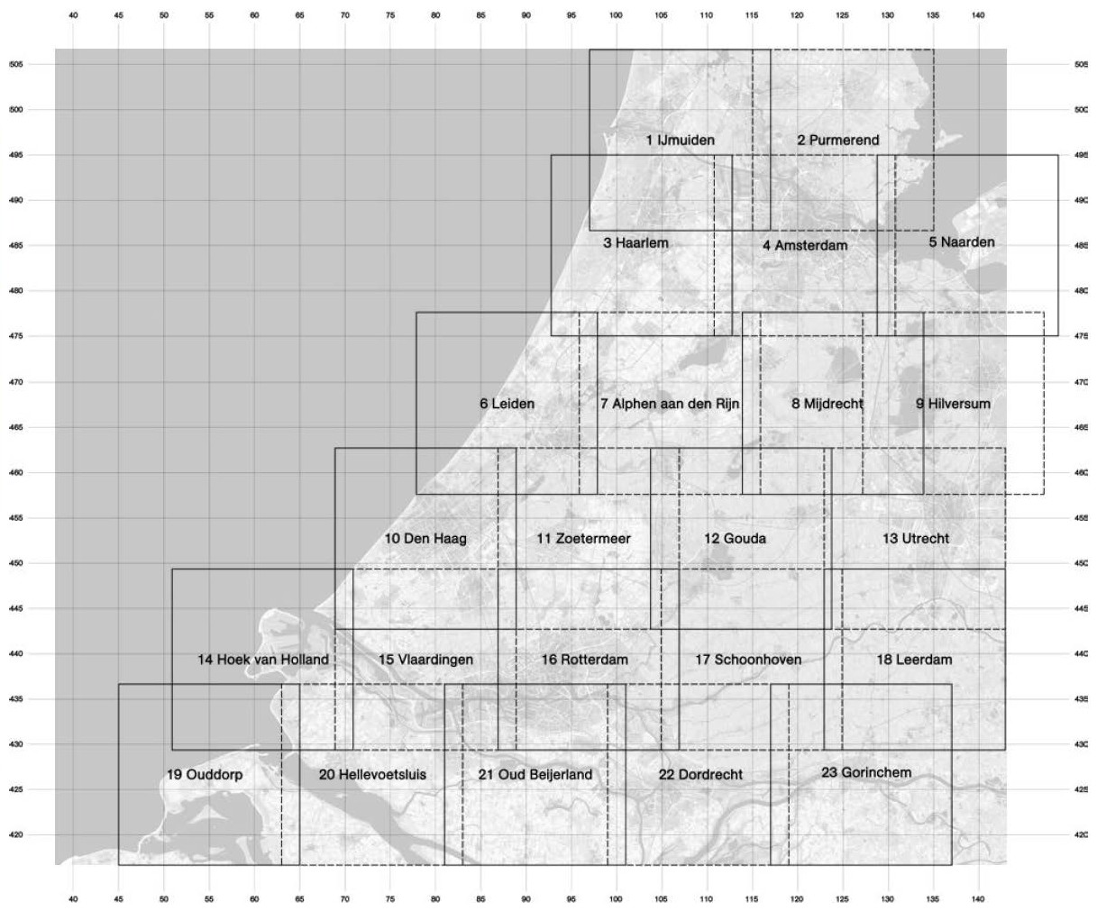
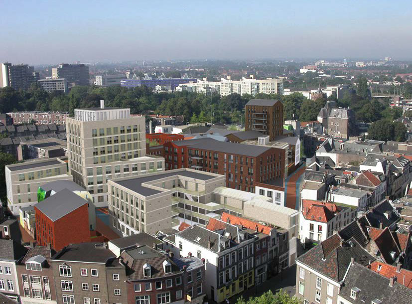
Dit artikel onderzoekt hoe Rotterdam zich heeft ontwikkeld tot de belangrijkste hoogbouwstad van Nederland door de opkomst van hoogbouw in het centrumgebied tussen 1940 en 2030 in kaart te brengen. Aan de hand van een atlas worden vijf perioden onderscheiden: 1940–1970, 1970–1985, 1985–2000, 2000–2015 en 2015–2030. Gebouwen hoger dan 70 meter – de Rotterdamse definitie van hoogbouw – zijn driedimensionaal weergegeven, waardoor veranderingen in ligging, functie en schaal door de tijd heen inzichtelijk worden.
De...
Dit artikel herwaardeert het palazzo als woningtype en betoogt dat het een actuele betekenis kan hebben voor hedendaagse woningbouw en architectuuronderwijs. In plaats van het palazzo te benaderen als een historisch of stilistisch product van de Italiaanse renaissance, wordt het gepresenteerd als een typologisch principe dat is gebaseerd op ruimtelijke ordening, herhaling en stedelijke inbedding. Kenmerkend is de centripetale structuur: een meerlaags stedelijk gebouw rond een binnenplaats die zowel ontsluiting als architectonisch middelpunt vormt.
...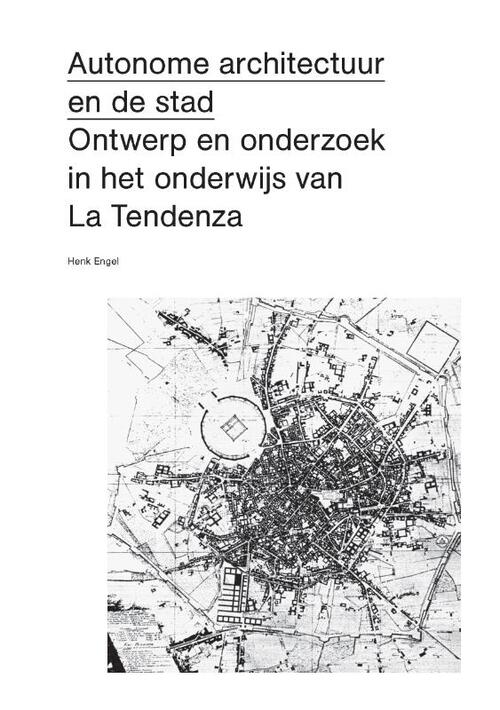
Boekbespreking over
Autonomous Architecture and the City: Design and Research in the Education of La Tendenza’
Proefschrift Technische Universiteit Delft, 2023
Door Henk (H.J.) Engel
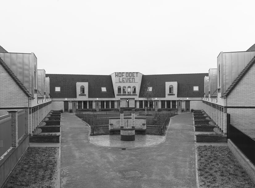
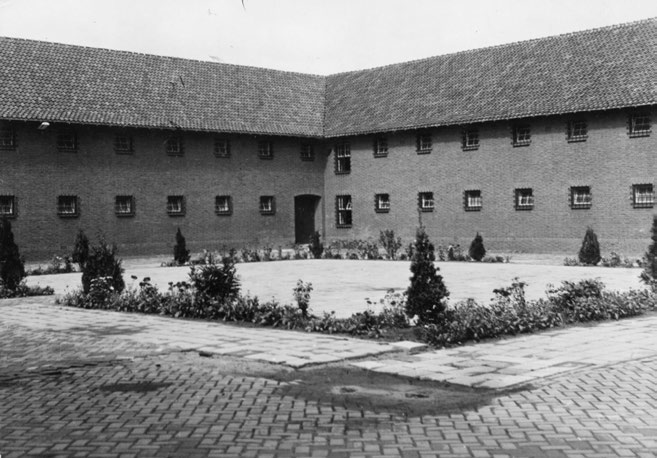
Dit artikel analyseert de hof in Nieuw Kralingen van Hans van der Heijden Architecten vanuit een architectonisch-constructief perspectief. Aan de hand van een nauwkeurige lezing van vorm, maatvoering, materialisatie en ordening onderzoekt de auteur hoe de hof functioneert als een samenhangend architectonisch geheel, en niet louter als woningtypologie. Centraal staat het idee van de hof als een ‘omgevouwen gevel’, waarin klassieke systemen van architectuur – kolommen, openingen, ritme en herhaling – de ruimte structureren en betekenis geven.
17 September 2021, 14.00 - 17.00 uur, Gouda
Lees meer over Boekpresentatie OverHolland 21