##submission.downloads##
DOI:
https://doi.org/10.7480/overholland.2011.10/11.1655Samenvatting
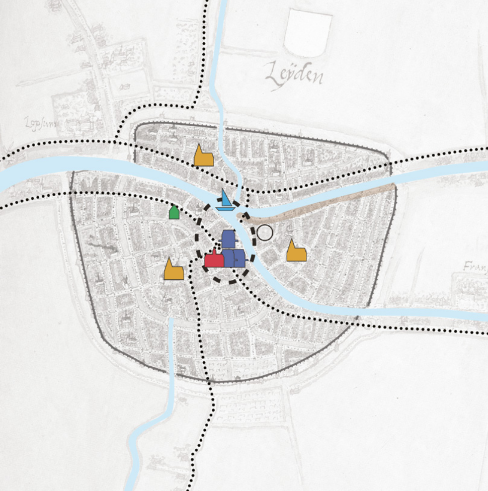
Het Hollandse landschap vertoonde in de elfde, twaalfde en dertiende eeuw een grote ruimtelijke dynamiek. In betrekkelijk korte tijd werden grote delen van het ontoegankelijke veen ontgonnen en geschikt gemaakt voor landbouw en bewoning. In de dertiende en veertiende eeuw vond vervolgens een proces van verstedelijking plaats. De snelheid waarmee dat gebeurde was opzienbarend, en over de groei van het aantal steden en de omvang ervan is dan ook al veel geschreven. De aandacht ging daarbij vooral uit naar de bestuurlijke, economische en sociale omslag in deze periode. Studies naar de ruimtelijke dimensie, zeker in vergelijkend perspectief, zijn echter schaars.
Citeerhulp
Gepubliceerd
Nummer
Sectie
Licentie
Copyright (c) 2011 Kim Zweerink

Dit werk wordt verdeeld onder een Naamsvermelding 4.0 Internationaal licentie.


