Abstract
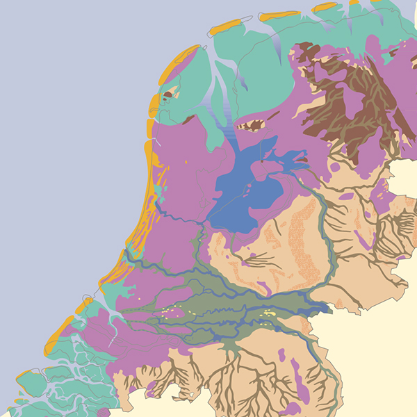
The purpose of the Randstad in kaart (‘The Randstad on the map’) research project is to provide a picture of the urbanisation process in the area now known as the Randstad. Five maps showing the changes in built-up area and infrastructure since 1850 have already been produced, and have served as the basis for a composite (‘layer’) map, showing the successive increases in built-up area as of 1850, 1910, 1940, 1970 and 2000. There is also a map showing the eighteenth-century network of canals for horse-drawn barges and the development of today’s railway system. In each case the maps have been chosen so that they virtually match Van Lohuizen’s map for the 1924 International Town Planning Conference in Amsterdam, showing the ‘urban sphere of influence of Holland and Utrecht’. It is generally agreed that this map formed the basis for the later concept of the Randstad.
How to Cite
Published
Issue
Section
License
Copyright (c) 2011 OverHolland

This work is licensed under a Creative Commons Attribution 4.0 International License.
