Background information on the creation of the map series
Downloads
Abstract
We regard a cartographic image as scientific output provided it is accompanied by a theoretical underpinning and explanatory notes. The study ‘Water system and urban form in Holland. A survey in maps: 1575, 1680, 1900 and 2015’ brings together the overlapping and complementary methodologies and expertise of the Rijksdienst voor het Cultureel Erfgoed (RCE – Cultural Heritage Agency) and the Faculty of Architecture at Delft University of Technology (TUD). Both institutions have considerable experience with the use of maps, in terms both of the research itself and in documenting the results of that research. This entails the use of (Historical) Geographic Information Systems with a comparable methodology of notation and verification.
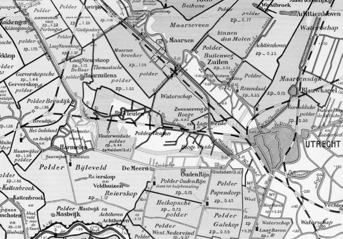
The RCE’s extensive Historical Geographic Information System (HGIS) of the water system in the western part of the Netherlands was the starting point for this cartographic survey. Its aim is to make the essence of the data and knowledge of the water system in this database accessible, and to relate it to research into the urbanisation of this region. The Delft cartographic method was employed in producing the intelligible and specific map series reproduced in this publication along with a written explanation of what the maps reveal. In this article we go into more detail about the method and the chosen reference years and provide a compact guide to interpreting each of the map series, accompanied by a description of the sources and processes employed.
How to Cite
Published
Issue
Section
License
Copyright (c) 2021 Otto Diesfeldt, Iskandar Pané

This work is licensed under a Creative Commons Attribution 4.0 International License.
