Introducing two map series
Abstract
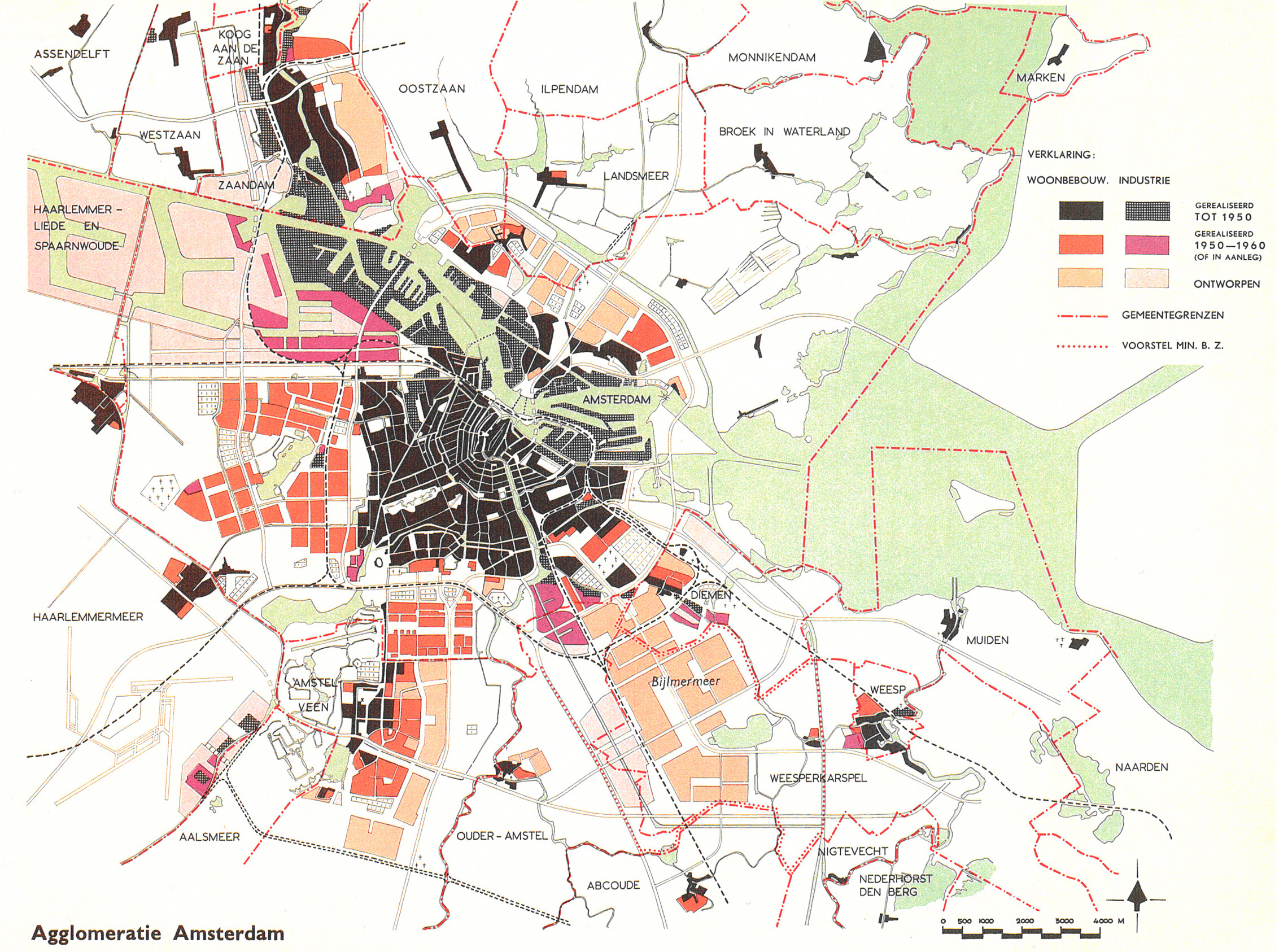
Since 2016 the city of Amsterdam, which is famed for its expansion plans, has been focusing on densification. As part of the council’s vision of a city with high quality of life (a circular economy, health, etc.), its Koers 2025: ruimte voor de stad (Target 2025: room for the city) programme includes densification involving at least 50,000 new dwellings. Most of these will be built in the form of tower blocks in the ‘Ring Zone’: the area between the prewar and postwar city along the A10 motorway, the circular railway line and the banks of the River IJ. In the next few years this area is to become a linking element between the centre and the districts beyond the ring, as well as a gateway to the city from the surrounding region. This will give a remarkable twist to a trend that was launched much earlier. ‘Today the existing city is not a marginal phenomenon within an endless mass of new urban development; on the contrary, new urban expansion lies in the margin of the existing city,’ wrote Erik Pasveer in 1991. The age of major urban expansion was truly over, and with it architects’ and urban planners’ focus on ‘tomorrow’s city’. The Bijlmer development, now known as South-East Amsterdam, was in that sense the last example of it. Yet Koers 2025 appears to be reviving the notion of ‘tomorrow’s city’ in a new form.
How to Cite
Published
Issue
Section
License
Copyright (c) 2019 OverHolland

This work is licensed under a Creative Commons Attribution 4.0 International License.


