##submission.downloads##
DOI:
https://doi.org/10.7480/overholland.2013.12/13.1699Samenvatting
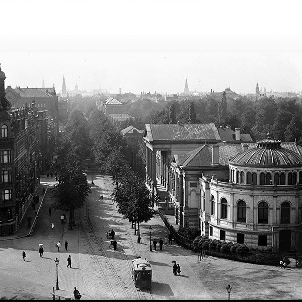
Amsterdam was in de achttiende eeuw een stad met geringe stedelijke dynamiek. Het bevolkings aantal schommelde in deze periode rond de 200.000 inwoners. Voor de weinige bouwprojecten die tot stand kwamen was nog volop ruimte binnen de zeventiende-eeuwse stadswallen beschikbaar. Vooral in het gebied ten oosten van de Amstel waren nog vele kavels onbebouwd. Hier vonden typische ‘fringe belt-elementen’ als sociale instellingen, de stadsvuilnisbelt en industrieën hun plek. Ten oosten van de Muidergracht bleef de Plantage een nagenoeg onbebouwd ontspanningsgebied met verhuurbare tuinkavels en houtwallen.
Grote ruimtelijke veranderingen deden zich pas in de loop van de negentiende eeuw voor. Nieuwe infrastructurele werken, zoals de aanleg van spoorlijnen en kanalen ter verbetering van de bereikbaarheid van de Amsterdamse haven, gaven de stad een nieuwe impuls. Vanaf de tweede helft van de negentiende eeuw trok de economie aan en zette een gestage bevolkingsgroei in. Na een dieptepunt van 180.000 inwoners in 1815 telde de stad in 1850 rond de 245.000 inwoners. Vanaf 1870 kwam de bevolkingstoename in een stroomversnelling. Dit was het moment dat de stad de bevolkingsgroei niet langer binnen haar oude grenzen kon opvangen en de eerste uitbreidingsplannen het licht zagen.
Citeerhulp
Gepubliceerd
Nummer
Sectie
Licentie
Copyright (c) 2013 Esther Gramsbergen

Dit werk wordt verdeeld onder een Naamsvermelding 4.0 Internationaal licentie.
