##submission.downloads##
DOI:
https://doi.org/10.7480/overholland.2013.12/13.1697Samenvatting
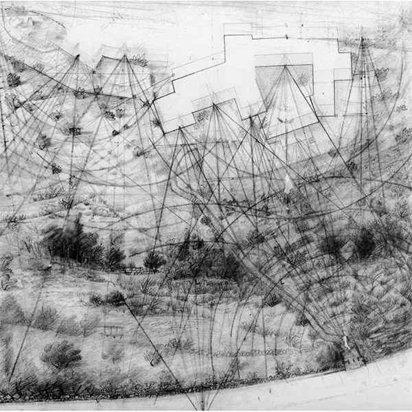
Er bestaat een soort hedendaagse ruimte die als zodanig nauwelijks wordt opgemerkt, zelfs niet door degenen die verantwoordelijk zijn voor de creatie ervan. Dit valt te verklaren door het feit dat die ruimtes geen specifieke locatie hebben aange-zien ze in de kern symbolisch, conceptueel van aard zijn. Ik heb het over landkaarten, de vorm die wordt gebruikt voor de grafische weergave van een ruimtelijk milieu. Zoals ik hieronder zal toelichten, zijn kaarten zélf plaatsen die de plaats innemen van de weergegeven werkelijkheid, het zijn surrogaatruimtes waarvan de werking in de eerste plaats berust op analogie en abstractie.
Hoe die bijzondere ruimte wordt geprodu-ceerd en gebruikt, heeft belangrijke consequen-ties voor de vormgeving van feitelijke fysieke mili-eus op elk schaalniveau, architectonisch, stedelijk of regionaal. Historici en critici van de cartografie onderstrepen het inzicht dat kaarten, ongeacht het medium of de hoeveelheid informatie die ze bevatten, het afgebeelde milieu onmogelijk recht-streeks of transparant kunnen weergeven, hoe objectief de meest geavanceerde gegeorefereerde informatiesystemen ook heten te zijn. Kaarten zijn wél krachtige en verfijnde instrumen-ten waarmee we structuur in onze omgeving kun-nen aanbrengen, want ze leveren ‘versies van de waarheid die de menselijke geest kan bevatten’. In de volgende beschouwing van de productie en het transformationele vermogen van kaarten wordt uitgegaan van de gedachte dat in elke vorm van ruimtelijke representatie het weergegeven object onvermijdelijk een bepaalde bewerking ondergaat.
Citeerhulp
Gepubliceerd
Nummer
Sectie
Licentie
Copyright (c) 2013 Gabriel Carrascal Aguirre

Dit werk wordt verdeeld onder een Naamsvermelding 4.0 Internationaal licentie.


